

Are you planning on hiking a volcano? Read more about my travel adventures in San Salvador!
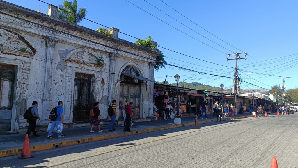
After visiting Santa Ana and El Tunco, I spent a weekend in San Salvador. San Salvador reportedly was the most murderous city in the world back in 2015-16, but the government has made a lot of changes in recent years.
Hiking a volcano in San Salvador: A guide to El Boqueron Volcano
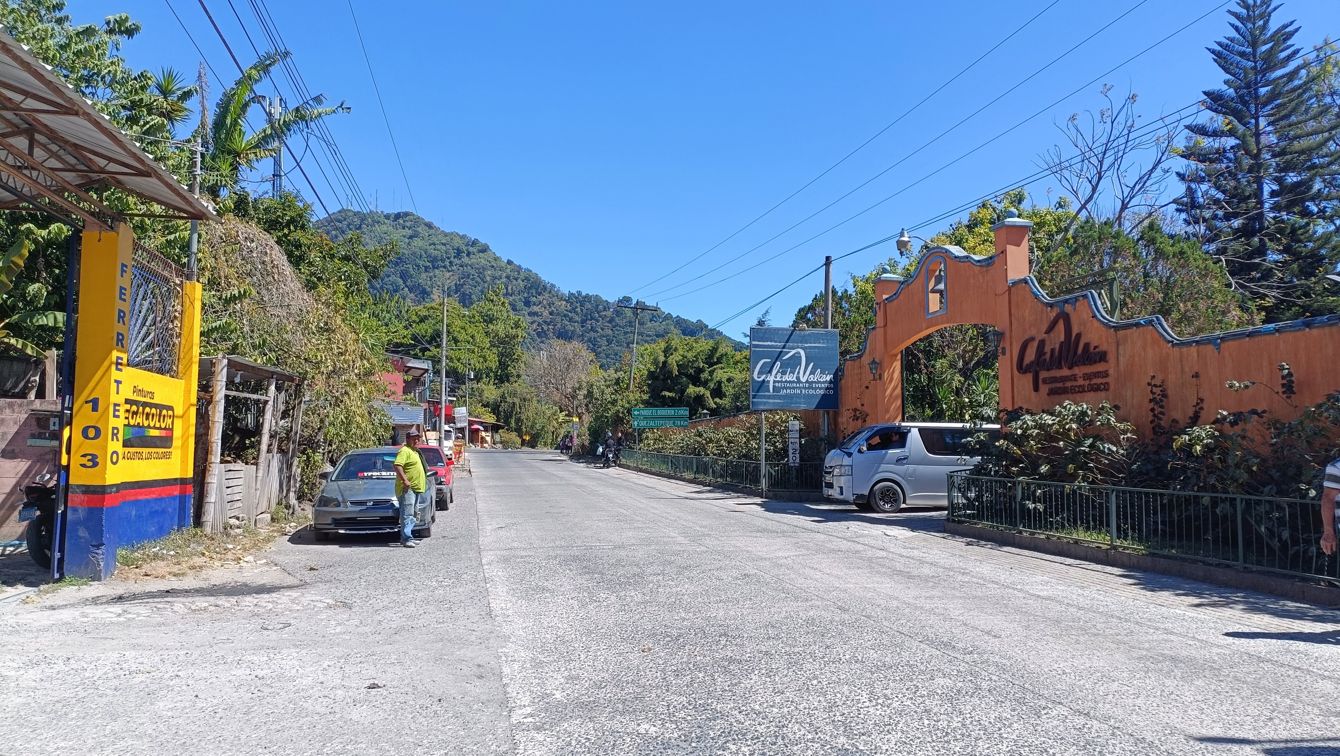
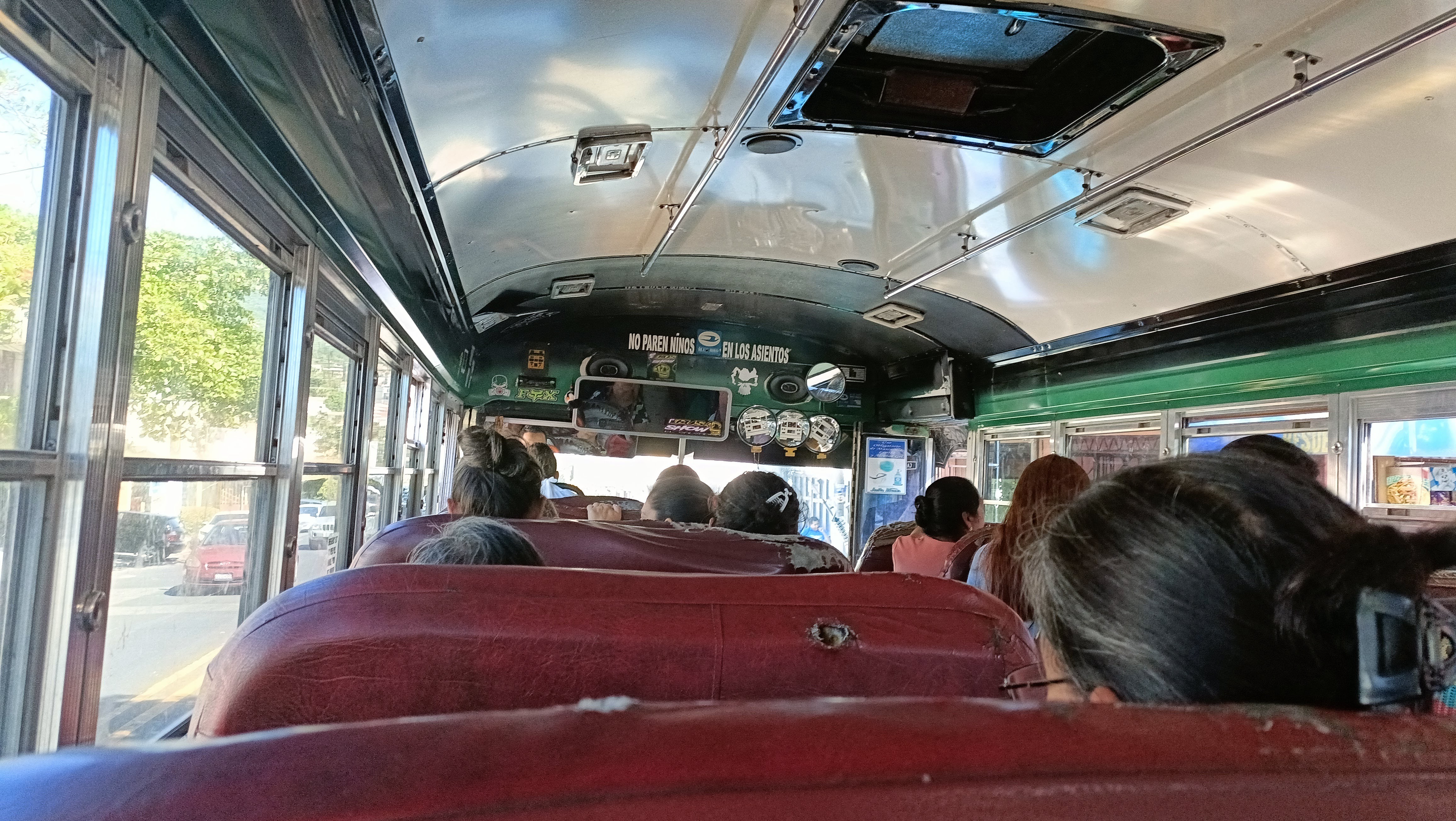
Despite having hurt my foot from stepping in a pothole wrong, I still really wanted to see El Boqueron National Park, so from San Salvador I took multiple local buses for about 2 hours each way to hike at the park.
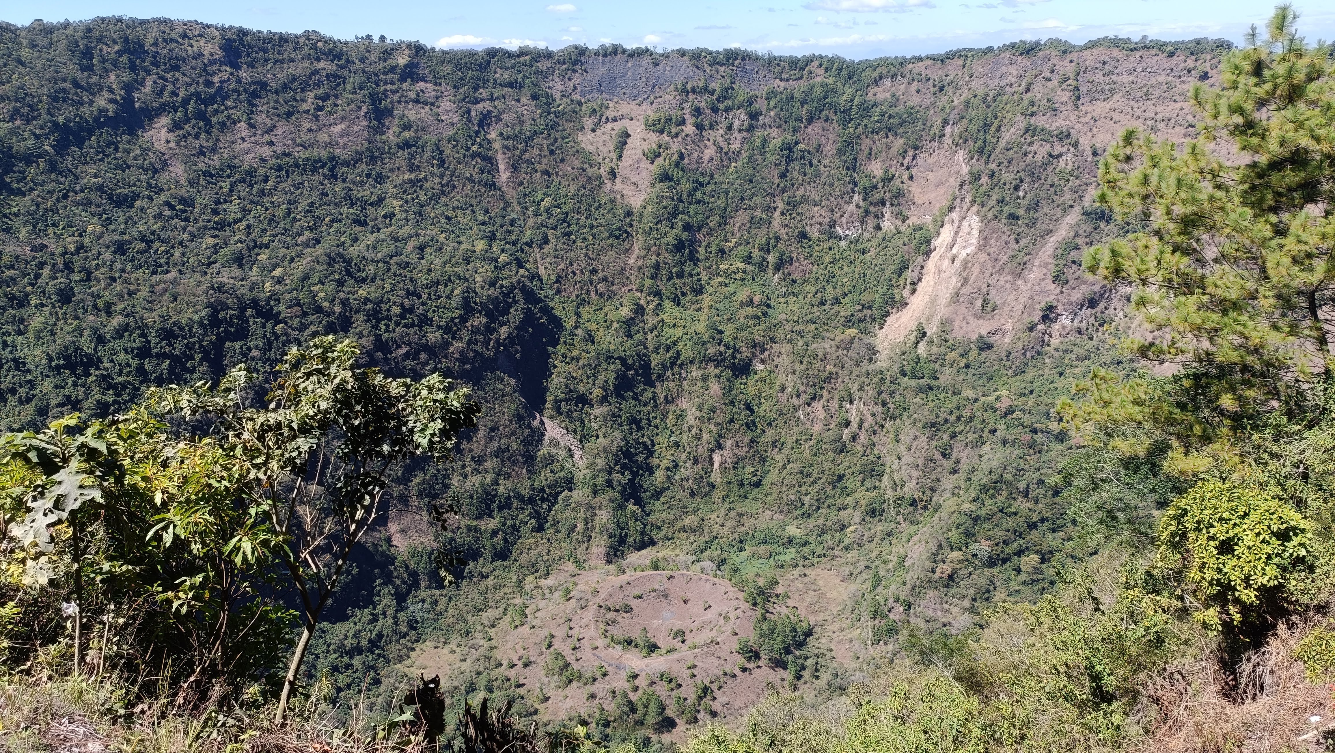
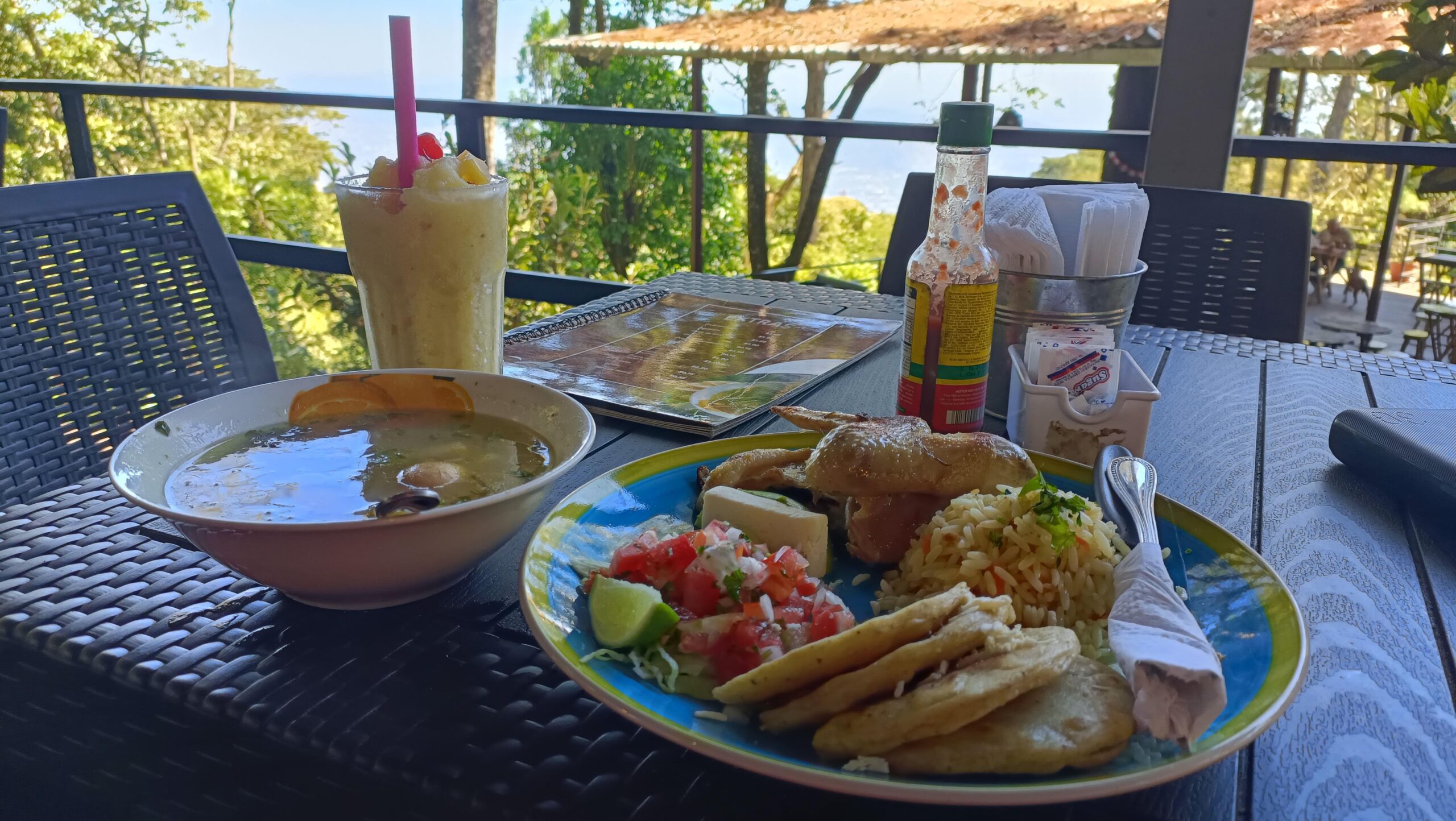
It was a beautiful hike around the crater of the volcano. It was around a 45-minute hike including taking tons of breaks. Nice views from the top, and well trafficked. Afterward, I had a nice meal at a nearby restaurant.
El Boqueron volcano
To be honest, it had nothing on the Santa Ana volcano, but it was a nice outing. I liked taking the local buses and chatting with locals, observing the city at my stops. Although, someone gave me bad directions (I think on accident) and I got to walk quite a bit in the wrong direction in the middle of nowhere, before finding a colectivo bus to take me directly to the park. Thank goodness I had cash to get a cold drink while walking on the highway.
What do you need to know before hiking a volcano?
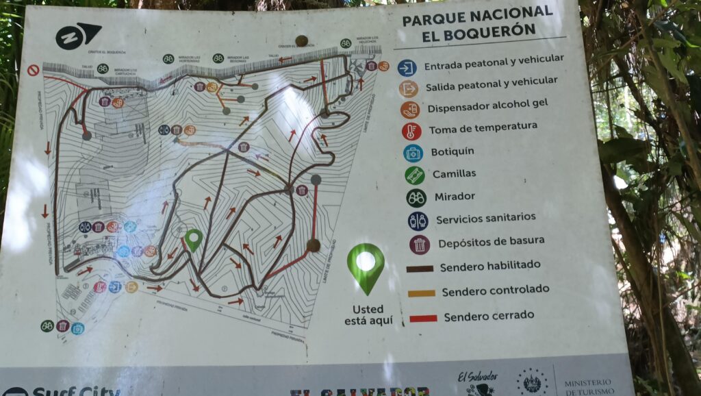
El Boqueron National Park is located on top of the San Salvador or Quezaltepeque volcano. At an altitude of 5,905 feet (1,800 meters), the volcano is on the outskirts of San Salvador and about 15 mi (23 km) from the San Salvador historic district. The park is a popular destination for locals and tourists alike, which makes it more interesting. The 3.2 mi (5.1 km) hike up to the volcano is a moderately challenging route with an elevation gain of 221 m. It takes around 1-2 hours to complete, depending on your pace.
But that’s a piece of cake compared to the Santa Ana Volcano! The Santa Ana hike is a more challenging one: the 4.2 mi (6.9 km) hike has an elevation gain of 467 m, and it can take up to 3 hours to reach the top. Still, the views are worth it!
Don’t miss out on our travel adventures and travel tips! Sign up for our free newsletter. And if you have any questions about living in or traveling to Mexico, overlanding with pets, being a digital nomad in Mexico, or general travel planning questions, book a consultation with Hannah.


0 Comments