


The St Mary’s Lake Loop Trail is a 7.5 mile white-blazed loop around a 250-acre lake in southern Maryland that did not exist before 1975. The lake is a flood control reservoir, the trail is shared with bikes and horses, and on a weekday in March you can walk the whole thing and see almost nobody. I hiked it the day after my dad died, and then most days of the week that followed.
Key takeaways
- The loop is signed “St Mary’s Lake Loop Trail, 7.5 Miles, White Blazes” at the trailhead. My watch read 16.2 km, four hours and fourteen minutes with the spurs I added.
- St Mary’s Lake is man-made. The dam was built in 1975 for flood control on the St Mary’s River, and the lake drains a 5,600-acre watershed.
- The park covers roughly 2,100 acres across two sites. Site 1 is the lake and the loop. Site 2 is undeveloped wildlands and managed hunting land.
- Hunting is not permitted on Sundays in Maryland, which makes Sunday the safest day to walk this in season.
- Day use at Site 1 is $3 per vehicle for Maryland residents, $5 out of state, card only. Leashed dogs are welcome.
What’s in this guide
- Why I was there
- The lake is younger than I am
- What is the trail like underfoot?
- What will you actually see out there?
- Practical details: fees, parking, hunting seasons
- Common questions
Why I was there
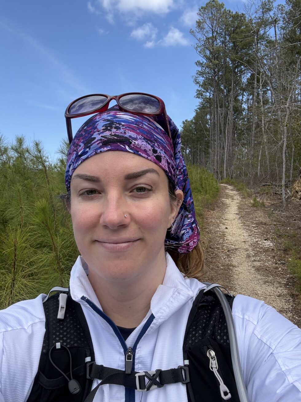
My dad died on a Monday in March. I took the week off work, and on the Tuesday I drove out to St Mary’s River State Park and walked for four hours.
That became the shape of the week. I went out nearly every day. It gave me a chance to clear my head, to be alone with my thoughts and actually process things, and to get outside and move my body. Being in nature has always done me good and that week was no exception.
I grew up around here, so a lot of where I walked that week were places I already knew. I recorded a few notes to myself on the trail that day. One of them was this: “Having lived abroad for years, you notice a lot of things that are different but were so normal when you were a kid.” That was most of what that week felt like.
The lake is younger than I am
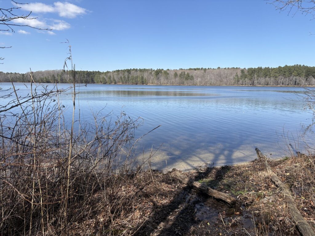
St Mary’s Lake looks like it has always been there, and it hasn’t. The 250-acre lake was created in 1975 when a flood control dam was built across the St Mary’s River, and it now drains a watershed of about 5,600 acres. The state started buying the land in 1968 and kept adding to it through 1983.
So the whole thing is engineering. The loop you walk is the shoreline of a reservoir that is barely fifty years old, and the reason it exists is flood management rather than recreation. The fishing and the hiking came afterward.
You can see it most clearly at the dam itself, where the trail crosses a wide grassy embankment and the water sits flat and open on one side. It is the only part of the loop that looks obviously built.
What is the trail like underfoot?
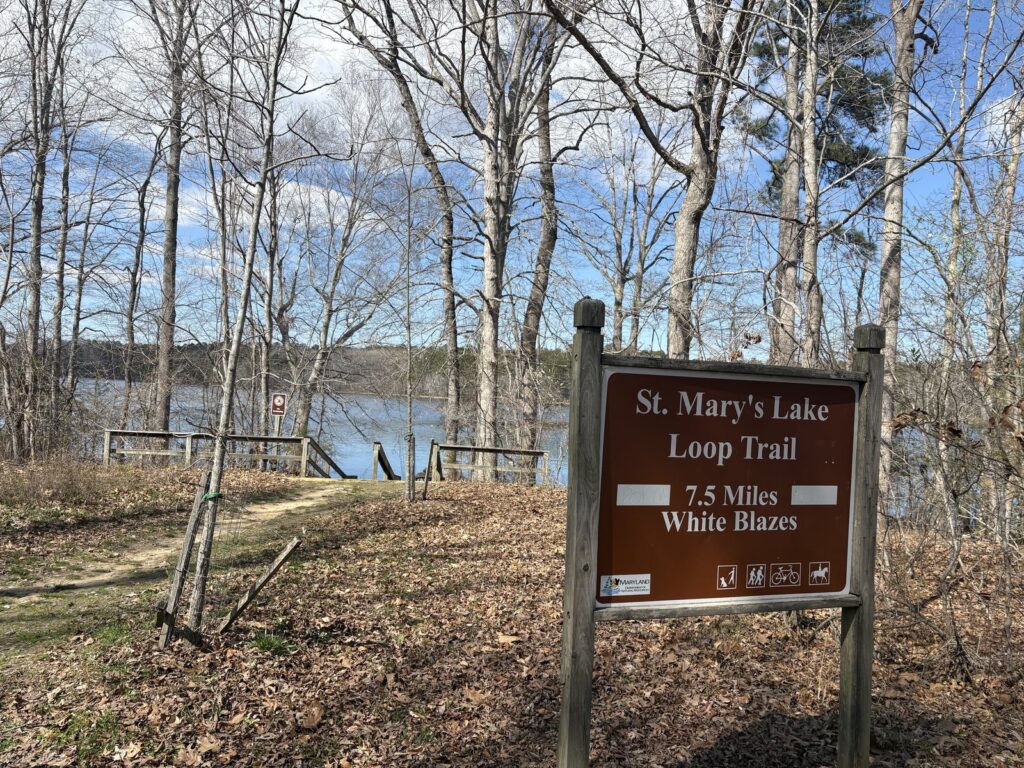
The main loop around St Mary’s Lake is signed at the trailhead as 7.5 miles, white blazes, and the blazes are painted on the trees the whole way round. There are markers at regular intervals, so you can walk out as far as you feel like and turn back without doing the full circuit.
Where people get confused is the junctions, because the lake loop is not the only trail out there. At one of them I stopped and read the sign out loud: “Cable, Bell Lap that way, Lake Trail that way, and the tree is marked.” If you want the lake, follow Lake Trail and the white blazes. The other names take you into the wider trail network.
It is a multi-use trail, so you are sharing it with mountain bikers and horses. Underfoot it is mostly packed dirt and leaf litter with a lot of exposed roots, and there are a few water crossings that are more awkward than they look on a map. After rain it gets properly muddy.
My own numbers, if it helps you plan: 16.2 km and four hours fourteen minutes, which is more than the signed 7.5 miles because I added spurs. If you walk the loop straight it is a comfortable half day.
What will you actually see out there?
On a March weekday, almost nobody. Standing at the water partway round, the note I recorded was: “That is St Mary’s Lake. Beautiful. So far I have not run into any animals or any people. It’s been totally silent, but it’s a Tuesday.”
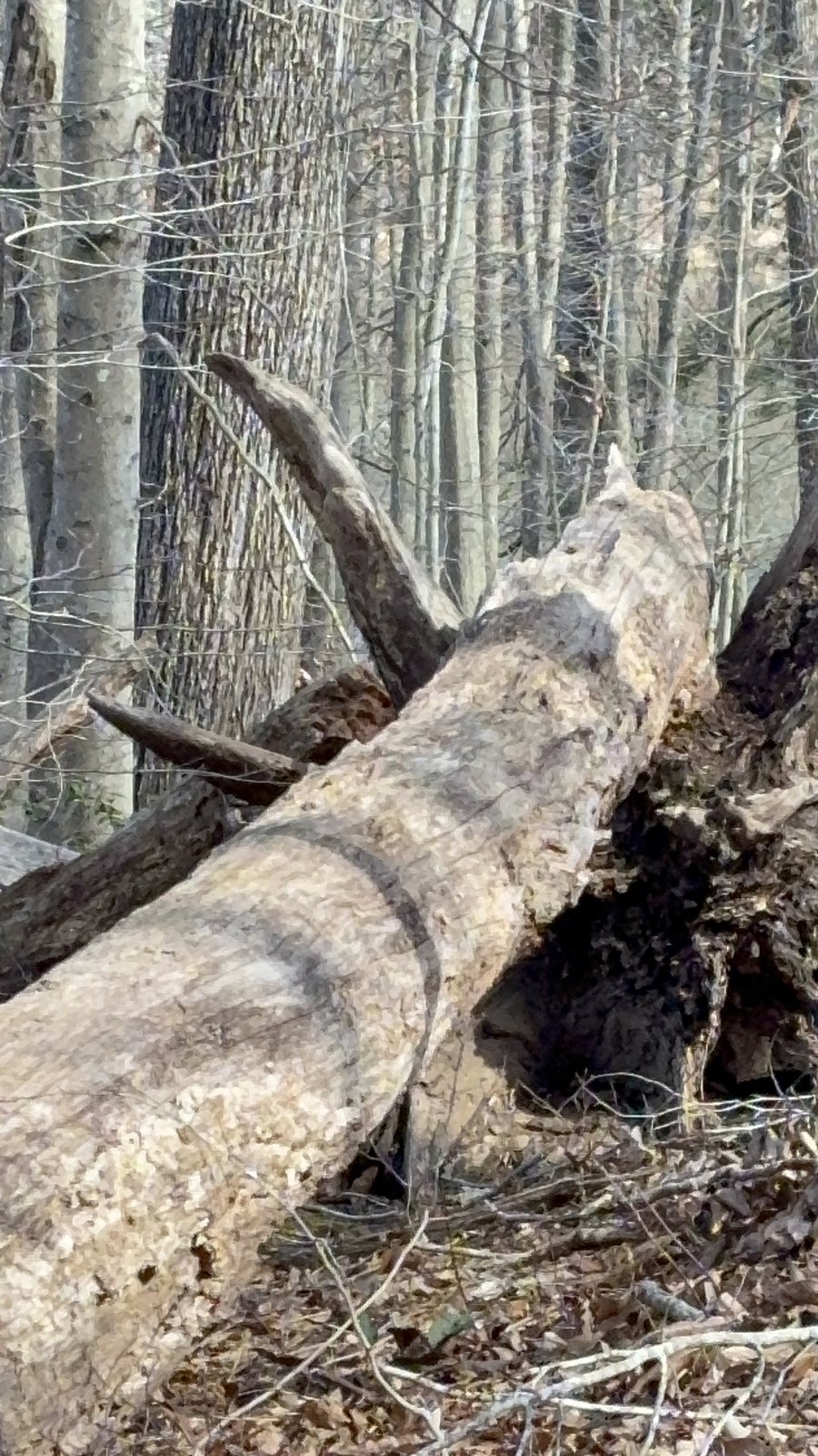
The trees are the thing I kept stopping for. There are big ones down across the slope, and because they are heavy they pull the entire root plate up with them when they fall, so you end up walking past these vertical discs of soil and root taller than you are. One was leaning rather than fallen, held up by the trees around it, with a gap underneath you could stand in.
Elsewhere the trunks lean together over the path and make what look like natural arches. There are woodpecker holes in a lot of the standing dead wood.
For wildlife, this is good raptor country: bald eagles, red-shouldered and red-tailed hawks, and both black and turkey vultures are here year round, with ospreys through spring and summer. The shallows had tadpoles in them when I went. The lake is a designated trophy bass fishery, so you will pass people fishing, and the far bank is where most of them are.
Practical details: fees, parking, hunting seasons
St Mary’s River State Park sits on Maryland Route 5 between Leonardtown and Great Mills, at the end of Camp Cosoma Road. Everything you need for the loop is at Site 1.
- Parking and fees: Site 1 has the lake, the trailhead and a gravel lot. Day use is $3 per vehicle for Maryland residents and $5 for out of state, and it is credit card only, so do not turn up with cash and no card.
- Site 2 is around 2,200 acres of undeveloped wildlands and managed hunting area. Parking there is in designated spots only.
- Hunting: this is the one to plan around. The park has substantial public hunting land and it is active in season. Maryland does not permit hunting on Sundays, so a Sunday walk is the safe default if you are unsure. Otherwise check the season dates before you go and wear blaze orange.
- Dogs: leashed pets are welcome.
- Fishing: a valid Maryland licence is required, and special regulations apply because it is a trophy bass lake.
- When to go: the lake area gets busy on summer weekends and holidays. Weekdays and early mornings are quieter, and the shoulder seasons are quieter still.
- What to wear: boots you do not mind ruining. The roots and the mud are the two things everyone underestimates.
Common questions
How long is the St Mary’s Lake trail?
The signed loop is 7.5 miles with white blazes, and it takes most people around three to four hours at a walking pace. My watch recorded 16.2 km in four hours fourteen minutes, but that included extra spurs off the main loop. There are markers along the way so you can turn back early if you want a shorter walk.
Is St Mary’s Lake natural or man-made?
Man-made. The 250-acre lake was created in 1975 by a flood control dam on the St Mary’s River, and it drains a watershed of roughly 5,600 acres. The recreation came after the engineering, not the other way round.
Can you hike at St Mary’s River State Park during hunting season?
Yes, but plan around it. The park includes managed public hunting land that is active in season. Maryland does not allow hunting on Sundays, so Sunday is the safest day to walk. On other days, check the current season dates and wear blaze orange.
Is the trail suitable for mountain bikes and horses?
Yes, the loop is a shared multi-use trail used by hikers, mountain bikers and horseback riders. Expect to yield and expect company on busier days. The surface is packed dirt with a lot of exposed roots, which affects bikes more than boots.
Where do you park for the St Mary’s Lake Loop Trail?
Site 1, off Camp Cosoma Road at the end of the entrance road, which has a large gravel lot next to the lake. Day use is $3 per vehicle for Maryland residents and $5 out of state, payable by card only. Site 2 is a separate, undeveloped area with roadside parking in designated spots.
Planning a trip and want someone else to do the legwork? My Travel Concierge Service helps you build a trip that actually fits how you like to travel. For more practical guides and insider tips, join the newsletter.
Start exploring with: North Beach, Maryland in the Off Season
More from the same stretch: Snow, Home, and Slowing Down: A Different Kind of Update from Maryland and When Travel Pauses




0 Comments